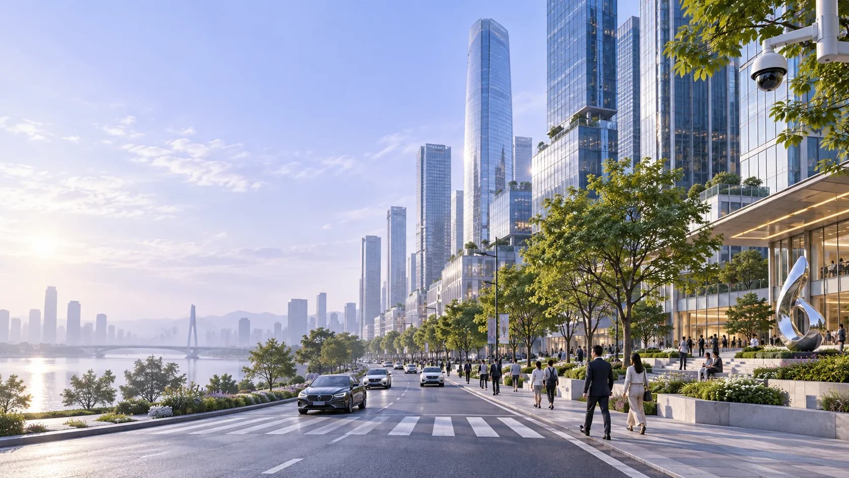
AI-Powered Visual Intelligence for Smarter Urban Operations.
Cities generate enormous amounts of visual data every day through traffic cameras, public-area cameras, infrastructure monitoring systems, and security networks.
Sierrawing transforms this visual data into real-time operational intelligence — helping city authorities and infrastructure teams monitor activity, identify important events, respond faster, and build safer, more efficient urban environments.
Central BoulevardPlaza 02Smarter cities start with better visibility.
Traditional camera networks provide visibility, but they often depend on humans continuously watching screens or reviewing footage after an incident. Sierrawing adds an AI intelligence layer to compatible camera infrastructure, continuously analyzing visual data across roads, public spaces, and facilities.
THE INTELLIGENCE PIPELINE
Turn passive camera footage into a live operational picture without requiring constant manual monitoring.
 LIVE INTELLIGENCE LAYER
AI-Powered Urban Monitoring
Create a centralized view of activity across different areas of a city or infrastructure network. Sierrawing can support AI-powered monitoring for:
MONITORED LOCATIONS
Configure AI rules based on the operational requirements of each location.
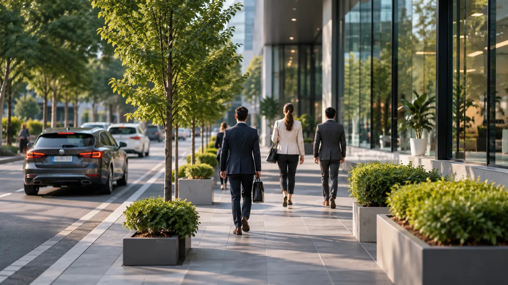 LIVE CITY FEED 14 IN VIEW
Keep road networks moving safely.
Road networks require continuous monitoring to maintain efficient and safe movement. Sierrawing can analyze compatible camera feeds to identify configured traffic-related events.
MONITOR
AI-generated events can help operational teams identify areas that may require attention.
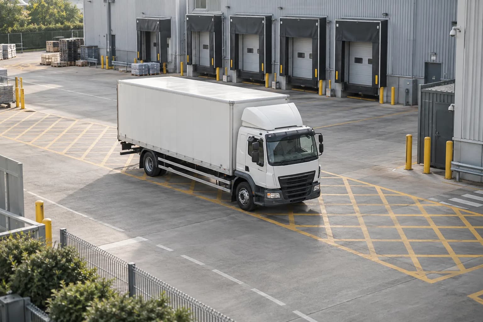 LOT B — LEVEL 2
Make parking management more efficient.
Parking management can become more efficient with real-time visual intelligence. Sierrawing can monitor configured parking areas and provide visibility into vehicle activity.
PARKING INTELLIGENCE
Use visual data to improve operational awareness across parking facilities and managed zones.
Visibility without watching every camera feed.
Public spaces require visibility without requiring teams to manually observe every camera feed. Sierrawing can identify configured events and alert authorized personnel when attention may be required.
MONITOR
Based on active camera coverage, configured rules, and response time.
No action taken without configured rules.
 AI ASSISTED 8 PEOPLE DETECTED
The appropriate team can then review the event and determine the required response.
Know when activity crosses a defined threshold.
Large gatherings and high-traffic public areas can quickly change throughout the day. Sierrawing can monitor configured zones and identify when activity reaches defined thresholds.
INTELLIGENT OCCUPANCY ALERTS
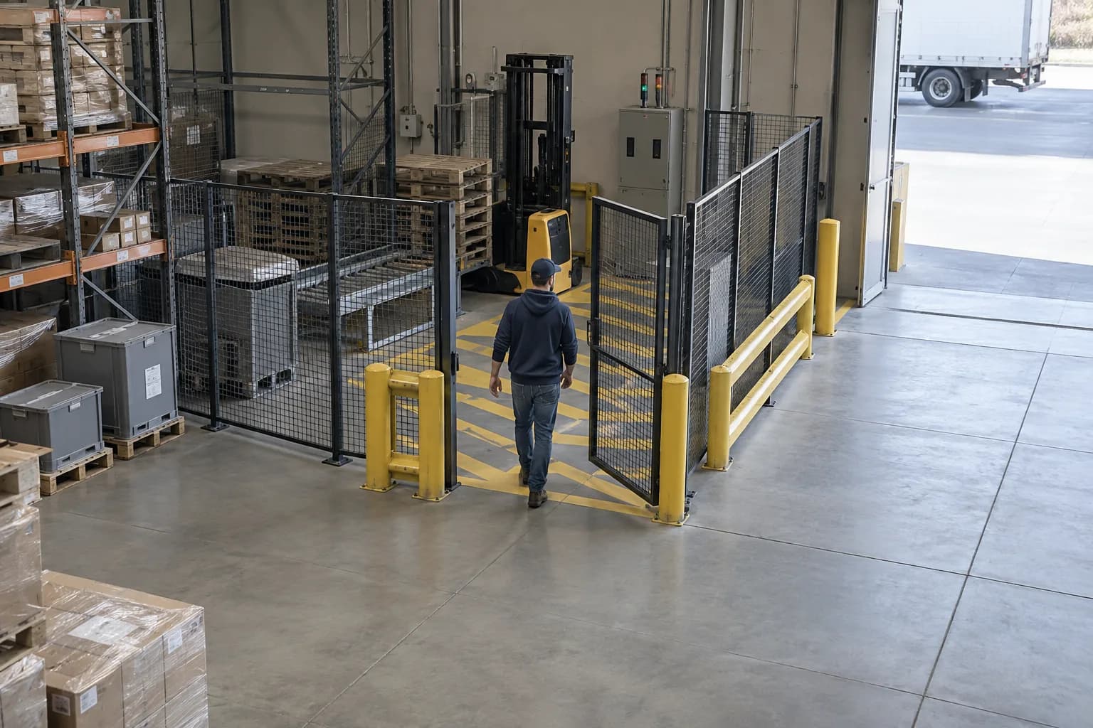
Keep controlled areas controlled.
Critical infrastructure and government facilities often contain areas that require controlled access. Sierrawing can monitor designated zones and detect configured entry events.
EXAMPLE LOCATIONS
Receive alerts when relevant activity is detected within configured areas.
Monitor visual events across distributed infrastructure from a single, centralized view.
Infrastructure Monitoring
Urban infrastructure requires continuous operational awareness. Sierrawing can provide visual intelligence across a wide range of municipal environments, all from one centralized platform.
One platform can extend visual intelligence across roads, utilities, transit, and public facilities alike.
Real-Time Alerts for City Operations
Important events should not get lost in hours of video footage. Sierrawing converts AI detections into actionable alerts.
Authorized teams can review the event and take appropriate action through their existing operational workflows.
Bring Visual Intelligence Into One Dashboard
Centralized Smart City Dashboard
Bring visual intelligence from multiple locations into a single operational dashboard. Get a real-time view of important activity across the entire monitored environment.
- Multi-location coverage
- Real-time AI alerts
- City-wide event history
- Role-based team access
- Works on desktop, tablet, and mobile

Dashboard
PREVIEW Today- Locations Online
- 126 / 130
- Cameras Online
- 1,842 / 1,900
- AI Events
- 18,426 Today
- Critical Alerts
- 63
- Active Zones
- 428
Recent Events
- Restricted Area Entry
- Occupancy Threshold Exceeded
- Congestion Indicator Raised
- Unauthorized Parking Event
- After-Hours Movement
CITYWIDE MAP VIEW- Downtown District·Live
- Riverside Corridor·Live
- Transit Hub·Live
Manage Every City From One Platform
Cities and infrastructure networks are distributed by nature. Sierrawing is designed to support centralized monitoring across multiple locations.
MANAGE
Smart City AI Rules
Every location has different operational requirements. Configure rules based on the environment, camera, location, and event type that matter most to your operations.
Rules can be combined and scoped to any camera, zone, or time window.
A Clear Operational Workflow
Sierrawing helps create a clear operational workflow from the moment an event is detected to the moment it’s resolved.
Detect · Understand · Alert · Respond · Improve.
Turn Historical Events Into Operational Insight
Real-time alerts are only one part of urban intelligence. Historical event data can help teams understand operational patterns.
Use these insights to support better operational planning and resource allocation.
Existing Camera Infrastructure
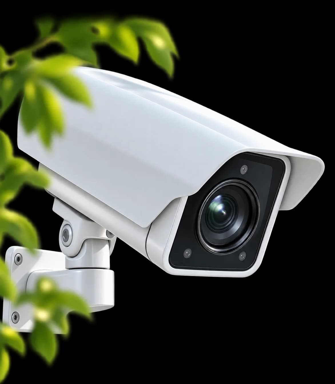
Smart city deployments often involve large and already-established camera networks. Sierrawing is designed to work with compatible existing camera and video infrastructure wherever supported.
CAMERAS → AI → EVENTS → ACTION
This allows organizations to introduce AI-powered visual intelligence without necessarily replacing their entire camera network.
Cloud, Edge & Hybrid
Different urban environments have different connectivity, latency, privacy, and infrastructure requirements. Sierrawing can support flexible deployment architectures.
Cloud
Centralized AI processing, management, analytics, and monitoring.
Edge
Process AI workloads closer to the camera source where local processing is preferred.
Hybrid
Combine edge inference with centralized cloud management and analytics.
Deployment architecture can be selected according to operational and technical requirements.
Modern AI, Built for Practical City Operations
Sierrawing combines modern AI technologies with practical urban operations.
ALSO INCLUDED
NVIDIA technologies can be incorporated into supported GPU-accelerated AI workloads where applicable, helping enable efficient computer vision inference at scale.
Computer Vision
Understand people, vehicles, and activity across every connected camera.
Core EngineDeep Learning
Identify configured visual patterns and city-wide events.
Pattern RecognitionGPU-Accelerated Inference
Support demanding real-time visual workloads at scale.
Real-TimeEdge AI
Process AI closer to the camera source when needed.
On-Site ProcessingWhere Sierrawing Fits
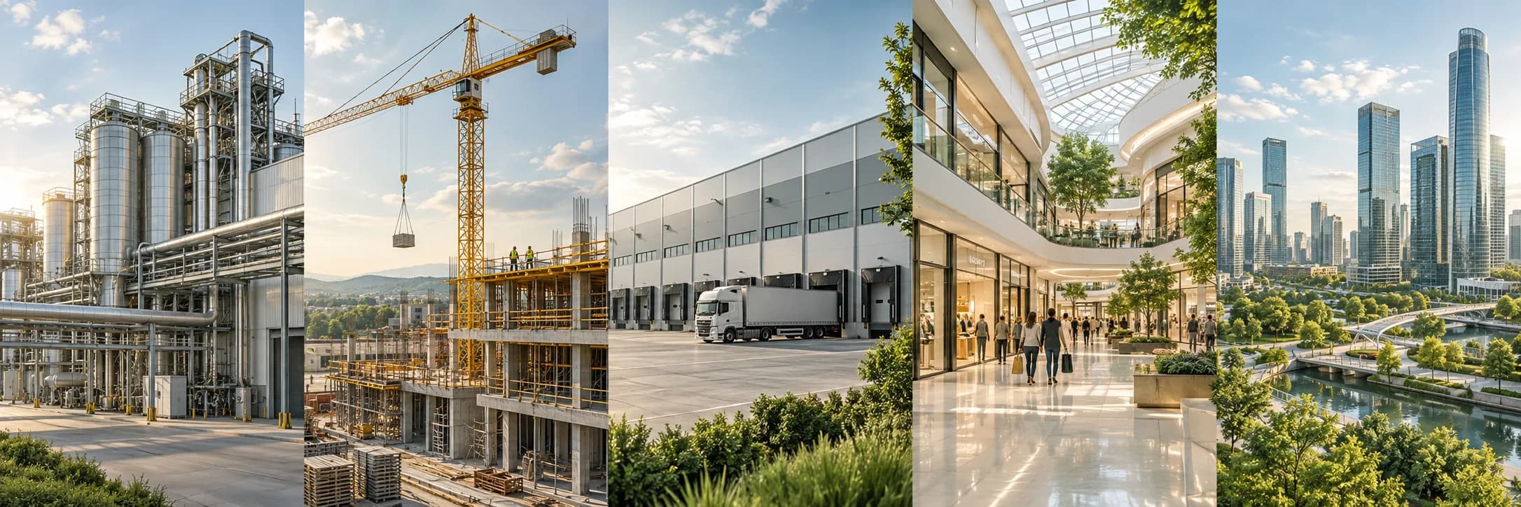
From congested intersections to municipal facilities, Sierrawing adapts to the operational reality of each urban environment.
Monitor vehicle and traffic activity across roads and intersections.
Monitor configured activity, occupancy, and safety events.
Understand vehicle activity and parking occupancy.
Monitor activity around stations, terminals, and transport facilities.
Monitor government and municipal buildings.
Add AI-powered monitoring to important infrastructure environments.
Monitor safety, restricted zones, workers, and vehicle activity at infrastructure projects.
| Role | Dashboard | Events | Settings | API |
|---|---|---|---|---|
Admin | ||||
City Operator | ||||
Field Crew | ||||
Viewer |
Access configuration can be adapted to organizational policy and the requirements of each city deployment.
Deployed responsibly, by design.
Smart city technology must be deployed responsibly. Sierrawing should be configured according to applicable laws, organizational policies, and the specific requirements of each deployment.
APPROPRIATE CONTROLS
Sierrawing is designed to provide operational intelligence while allowing organizations to maintain appropriate governance over their deployments.
Why Organizations Choose Sierrawing
Improve Operational Visibility
Understand what is happening across distributed environments in real time.
Respond Faster
Surface important AI-detected events for faster human review and response.
Scale Across Locations
Manage cameras and AI monitoring across multiple zones and facilities.
Modernize Existing Infrastructure
Add AI capabilities to compatible camera networks.
Reduce Manual Monitoring
Let AI continuously analyze visual data and highlight relevant events.
Make Better Decisions
Use historical visual intelligence to identify operational patterns.
Build Safer Environments
Support proactive monitoring of configured safety and security events.
The Intelligent City Is Connected, Aware & Responsive
A smart city is not simply a city with more cameras. It is a city that can understand what its visual infrastructure is seeing. Sierrawing adds an AI intelligence layer that helps transform cameras into operational systems capable of detecting, analyzing, and communicating important events in real time.
Build Smarter Urban Operations With Sierrawing
Turn your compatible camera infrastructure into an AI-powered visual intelligence network.
See Today. A Safer Tomorrow.